
Getting Our Land in Shape: Land Shaping
go.ncsu.edu/readext?969856
en Español / em Português
El inglés es el idioma de control de esta página. En la medida en que haya algún conflicto entre la traducción al inglés y la traducción, el inglés prevalece.
Al hacer clic en el enlace de traducción se activa un servicio de traducción gratuito para convertir la página al español. Al igual que con cualquier traducción por Internet, la conversión no es sensible al contexto y puede que no traduzca el texto en su significado original. NC State Extension no garantiza la exactitud del texto traducido. Por favor, tenga en cuenta que algunas aplicaciones y/o servicios pueden no funcionar como se espera cuando se traducen.
Português
Inglês é o idioma de controle desta página. Na medida que haja algum conflito entre o texto original em Inglês e a tradução, o Inglês prevalece.
Ao clicar no link de tradução, um serviço gratuito de tradução será ativado para converter a página para o Português. Como em qualquer tradução pela internet, a conversão não é sensivel ao contexto e pode não ocorrer a tradução para o significado orginal. O serviço de Extensão da Carolina do Norte (NC State Extension) não garante a exatidão do texto traduzido. Por favor, observe que algumas funções ou serviços podem não funcionar como esperado após a tradução.
English
English is the controlling language of this page. To the extent there is any conflict between the English text and the translation, English controls.
Clicking on the translation link activates a free translation service to convert the page to Spanish. As with any Internet translation, the conversion is not context-sensitive and may not translate the text to its original meaning. NC State Extension does not guarantee the accuracy of the translated text. Please note that some applications and/or services may not function as expected when translated.
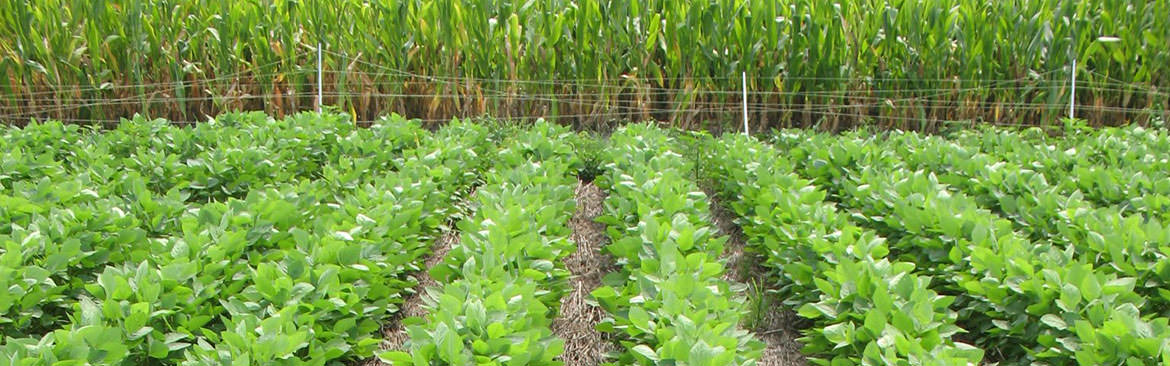
Collapse ▲Depending on the grower, the factors that are limiting yields for corn, soybean and wheat can vary, but one that is a common issue among growers in this part of NC is poor drainage. Poor drainage can either be due to internal and/or surface drainage.
Growers in the tidewater region of NC know that too much water is usually more of a problem with growing crops than less water. They also know the importance of adequate ditches/canals to carry water off the land and that they require maintenance to stay effective. But we also have soils that do not drain internally very quickly, which allows them to stay wet longer than coarse textured (sandier) soils. Subsurface drainage that is properly designed is the way to address aforementioned issues for soils with poor internal drainage. The last management tool that can address poor drainage is land shaping. Proper land shaping can help expedite the removal of water off the field. Low spots in fields that have crops drown due to standing water, regardless of the size, reduce a significant amount of average yield.
In the last several years, I am seeing an increasing number of growers doing land shaping. I have asked growers that have conducted land shaping about the benefits and they always tell me that their yield average went up for that field. I have even had a grower tell me that it paid on rented land. However, if I did it on rented land, I would want an understanding or agreement that I had several years to recover the cost.
One of the cost share programs that the NRCS/Soil and Water Office has is for land shaping. This program is for a limited amount of funds for the county. Even if you do not utilize the cost share program, this management practice will go a long way in paying for itself, if properly done.
The main thing is that it is done properly to prevent other issues such as all the topsoil being removed in some parts of the field that exposes more clayey soils that can be more difficult for seedling emergence, more acid soils exposed causing poor crop growth, and compacted soils inhibiting root growth as a result of equipment moving soil.
You need only slight changes in percent slope from the center of the field to the ditches or from one end of the field to the other to provide proper surface drainage. Once land shaping is completed, it would be advisable to take soil samples of those fields and deep tillage (subsoiling) to destroy compacted layers. The NRCS/Soil and Water Office can provide technical assistance in making certain that you do land shaping properly. Also, here is a video you may be interested in called Basics of Agricultural Drainage.